
Projects
Valorisation
Scientific articles
- Christophe Lin-Kwong-Chon, Cedric Damour, Michel Benne, Jean-Jacques Amangoua Kadjo, et Brigitte Grondin-Pérez, « Adaptive neural control of PEMFC system based on data-driven and reinforcement learning approaches », Control Engineering Practice, vol. 120, p. 105022, mars 2022, doi: 10.1016/j.conengprac.2021.105022.
- Christophe Lin-Kwong-Chon, Pierre Todoroff, Lionel Le Mezo, Michel Benne et Jean-Jacques Amangoua Kadjo, « Multi-level deep-based classification of land use and land cover: A case study on Réunion Island », Proceedings of the International Society of Sugar Cane Technologists, volume 31, xx–xx, 2023 (à paraitre)
- Christophe Lin-Kwong-Chon, Kenza Benlamlih, Pierre Todoroff, Jean-Jacques Amangoua Kadjo, « Deep learning et imagerie satellitaire pour cartographier l’occupation du sol : performances et perspectives », RGR2021, 17 novembre 2021, sciencesconf.org:rgr2021:374451.
- Idriss Sinapan, Christophe Lin-Kwong-Chon, Cédric Damour, Michel Benne, Jean-Jacques Amangoua Kadjo, Optimisation des interfaces fluidiques dans un système de production d’hydrogène par électrolyse à partir des outils de reconnaissance d’images Deep Learning, CNRS Aussois FRH2, 2 juin 2022
- Christophe Lin-Kwong-Chon, Idriss Sinapan, Dominique Grondin, Michel Benne, Segmentation d’images pour la classification de données massives, TEMERGIE ValoREn, 1er decembre 2022
- Christophe Lin-Kwong-Chon, Pierre Todoroff, Lionel Le Mezo, Michel Benne et Jean-Jacques Amangoua Kadjo, « Multi-level deep-based classification of land use and land cover: A case study on Réunion Island », ISSCT2023, Hyderabad, 2023
- Pierre Todoroff, Christophe Lin-Kwong-Chon, Kenza Benlamlih, Deep Learning et imagerie satellitaire pour cartographier l’occupation du sol : performances et perspectives, CST SIAAM, 15 novembre 2021
- Pierre Todoroff, Christophe Lin-Kwong-Chon et Kenza Benlamlih, Modèle d’apprentissage profond pour cartographier l’occupation du sol en zone tropicale à partir d’images THRS, SEAS-OI, 13 juin 2022
- Christophe Lin-Kwong-Chon, Pierre Todoroff, Mickaël Mezino, Lionel Le Mezo, Cartographie de l’occupation du sol par imagerie satellitaire et apprentissage profond : Premiers résultats, CST CapTerre, 24 novembre 2022
- DeepRun-GUI : A GUI application for deep learning model generation, model training and images inference. Source code.
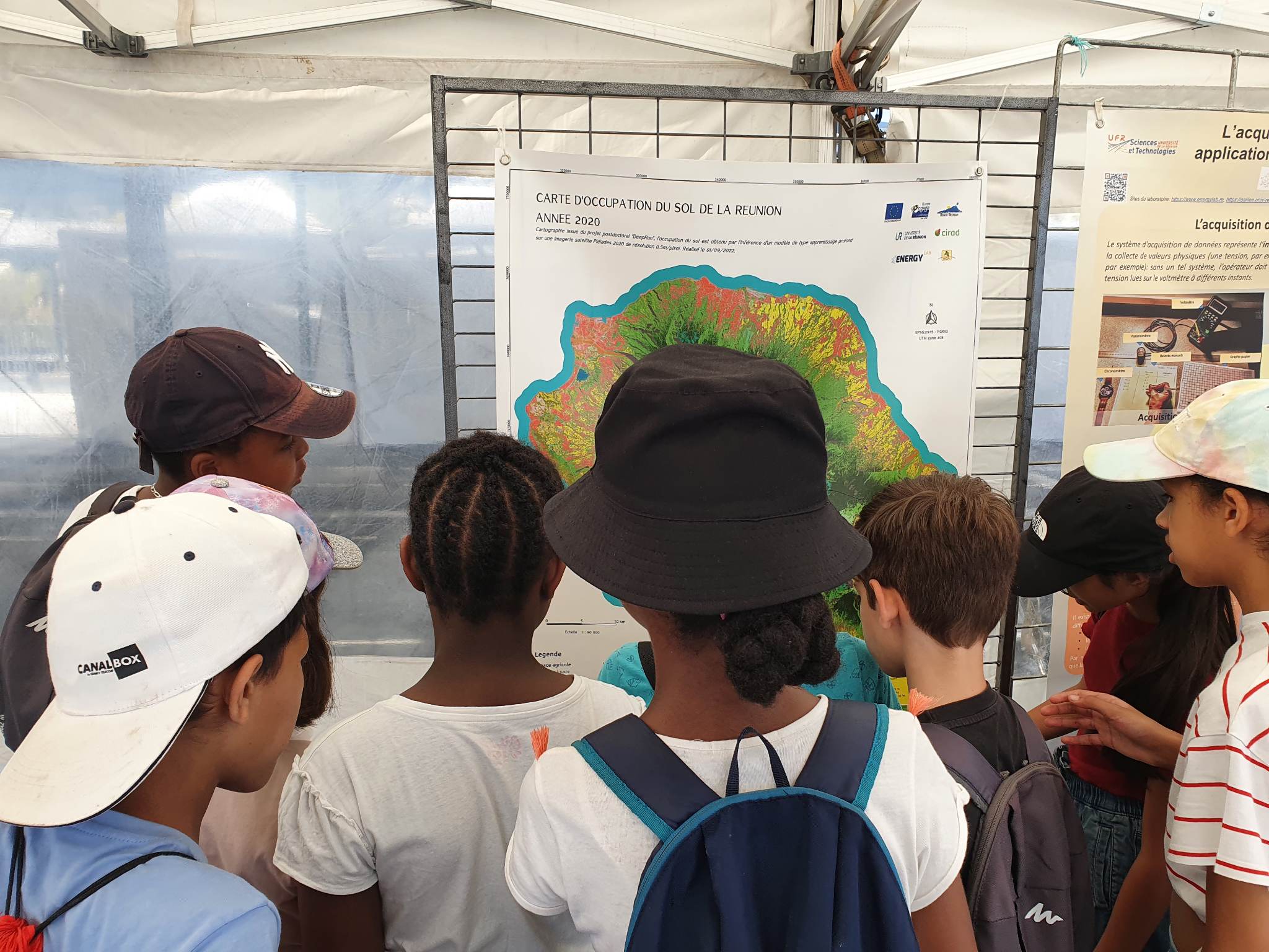
- Fête de la Sciences, 17 novembre 2022, 30ème édition, Université de La Réunion